This month, I spent a week at Bowling Green State University for some training for the fire department. When I take these trips, I like to explore local areas of interest and find some hiking opportunities wherever I can. During a recent trip to the National Fire Academy in Maryland, I completed several of the goals of my 52 Hike Challenge for 2023, did a couple of “bucket list” hikes and set a new personal record for elevation gain in a single hike, and in a single day. With a little advanced planning, trips like this can be an excellent opportunity for exploring a trail you wouldn’t normally drive several hours to find.
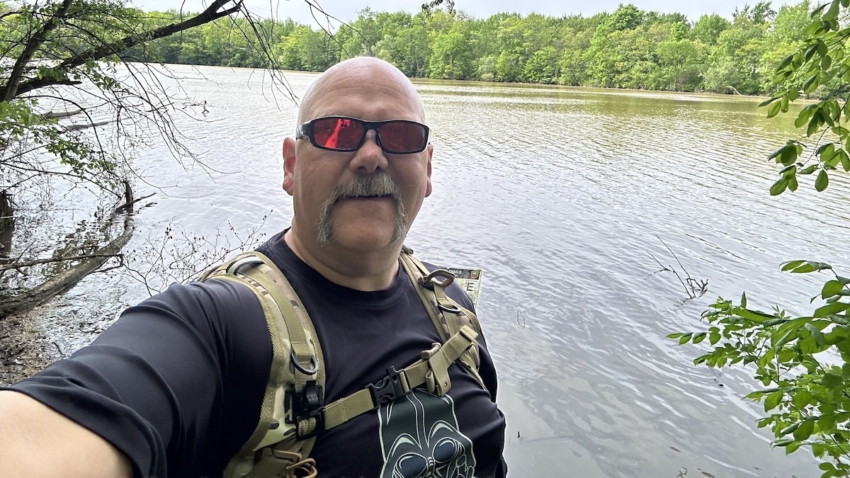
While Northwestern Ohio may not have the challenging terrain of the Appalachian Mountains, or even the Hocking Hills area here in Ohio, there are still many interesting hiking opportunities in that corner of the state. On my way up, I passed a sign on the highway for Van Buren State Park. Having a little time to spare before checking into my hotel, I decided to stop and see what trails I could find. There are many equestrian and mixed-use trails at Van Buren State Park and a campground that features amenities for equestrians as well as hikers. Trail maps are available at the campground office and on the DETOUR and AllTrails apps. I proceeded down to the hiking trails surrounding Van Buren Lake and decided on the trail that follows the shoreline of the lake. This trail is a little over two miles, and I left out from the shelter houses on the south side. The trails are very well-maintained and well-marked. I would consider some of the terrain moderate, with a few gullies and ravines that offer some elevation changes along the way, but much of the trail offers very little elevation change. Depending on the trail you choose, some follow closer to the lakeshore than others, but all are well-marked and navigable.
Being one of the smaller state parks I have visited, and very focused on the camping experience, the trails were still nice, and it was a welcome break after a couple of hours in the car. If you find yourself in the area, it is an excellent stop for a little exercise. While the trail along the north side of the lake is a little more sparsely marked, it follows a disk golf course and the AllTrails app made it relatively easy to find the trail amid the course.
Apps like AllTrails, the DETOUR app from the Ohio Department of Natural Resources, TrailLink from the National Rails to Trails Conservancy and the NPS app from the National Parks Service all offer information and resources for hiking opportunities. AllTrails and TrailLink offer subscription services, but a subscription is not required. Both offer lots of worthwhile information, and depending on what you are looking for an app to do, they are worthwhile as there are both free and subscription forms. AllTrails allows subscribers to download trail maps for offline usage and covers a variety of local, state and national parks, as well as other hiking opportunities. TrailLink covers the Rails-to-Trails network across the United States and is an excellent resource for those looking for this type of hiking. The DETOUR app and NPS app both cover their respective hiking opportunities for state and national parks and have other useful information about the parks themselves. Using a resource like an app can not only offer you maps and searchable data about hiking opportunities, but some also feature route mapping and the ability to add and share hikes you’ve done in different areas. Along with the features of the apps, some smartphones and smartwatches allow you to record data as well when hiking. Though apps and electronics are not the typical type of equipment we usually talk about, and with some people wishing to get away from these types of things while on a hike, they are a useful resource for locating and navigating trails that you may not be so familiar with. I use the AllTrails app quite extensively, and there are several challenges and events I participate in that require some type of event record, so I use this and others often. Some also offer the ability to add pictures and keep notes along the trail so that you can inform other hikers of issues or record trail conditions for others to view. I find the apps to be a useful tool for getting the most out of my hiking experiences, especially in unfamiliar areas where I may be looking for new hiking opportunities.
Spring is in full swing here in Ohio, and the temperatures have been very conducive to hiking over the past few weeks. I have spent several days, rain or shine, out doing some type of hiking, and have enjoyed myself quite a lot. I did a 10K hike for my birthday hike earlier this month and made considerable improvement in my time over the 10K I did at the end of my 52 Hike Challenge for 2022. I am progressing toward completing my 52 Hike Challenge 2023 and hope to finish with a 20-mile hike in eight hours in August at Burr Oak State Park called the Mammoth March. While I do enjoy the solitude of the lone hike, I do find these challenges and events a welcome change, and many offer some type of reward for completion, which I personally find to be great motivation and a fun way to commemorate the events. As we transition into late spring, with summer just around the corner, take advantage of the improving weather to do some hiking, camping or just take an evening stroll. Enjoy the sights and sounds, and as always, be safe, have fun and get outside!